
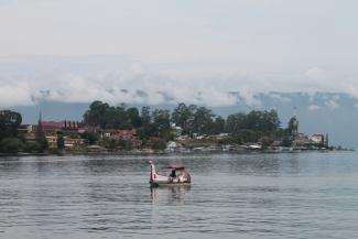
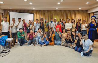
80 Representatives of Indigenous peoples from 17 countries attended a Global Conference on Community Participatory Mapping on Indigenous Peoples' Territories on 25-28 August 2013. The conference was held in Tuktuk, Samosir Island, North Sumatra.
The conference was held by in cooperation the Indigenous Peoples Alliance of the Archipelago (AMAN) and Tebtebba an international study center of Indigenous Peoples in the Philippines. This activity is a follow-up of Participatory 3D Mapping
Workshop organized by Tebtebba in August 2012. The conference was attended by the partners involved in the Indigenous Peoples' Global Partnership on Climate Change and Forests.
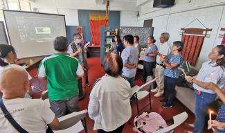
Secretary-General of AMAN, Abdon Nababan said in opening remarks.
"The theme of participatory mapping are highly relevant to indigenous peoples in Indonesia. There is a need for indigenous peoples in Indonesia to quickly map their customary lands.
This mapping we should expand participatory mapping movement. We would like invite more people and institutions to be involved, "said Abdon.
A map is important to show land use and ownership indigenous peoples and can be used as a tool to fight for the rights of indigenous peoples for their territories, and resources.
It's a new and vivid way to
illustrate how they and their ancestors have inhabited and worked these
lands for thousands of years and have every right to assert their
ownership ,†said Vicky Tauli Corpuz, Excecutive Director of Tebtebba.
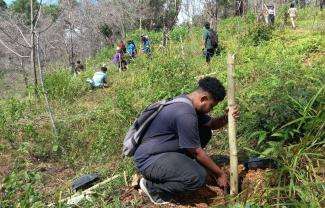
Participants from Malaysia, Nepal, Panama, Mexico and Brazil, explained how they have adopted affordable, high-tech mapping technology to retrace the history of their land ownership and catalog their natural resources. Their hope is that detailed maps can help them fight the destruction of vast tracks of forests, peatlands and waterways—brazen incursions by government and industry that not only deprive indigenous peoples of their lands but also greatly accelerate the global loss of biodiversity and accumulation of greenhouse gases in the atmosphere.
Such maps can help efforts to halt the loss of indigenous territories to palm oil, logging and other industrial needs. Conference participants also agreed to issue a declaration calling on the Indonesian government to pass legislation the protection of indigenous peoples is currently being discussed in the Parliament, which will provide new protection for 50 million indigenous people.
Mahir Takaka experiences, Deputy III of AMAN for Empowerment and Services, share his experience.According to him, mapping in the context of indigenous people movement is conducted based on the indigenous people need. Â The map is used as a tool to support adat spatial planning and recognition of indigenous people territory by The Indonesian Government and other States.
For Indigenous Peoples, indigenous territories map is useful as a planning tool in indigenous territories, being the main instrument development and custom spatial arrangement, the empowerment of indigenous peoples (mainly related to aspects of social, economic, cultural, political, and environmental), as well as to determine the critical points of a natural disaster.
In March 2010, Indigenous Territory
Registration Board (BRWA) was established by AMAN, with the Participatory Mapping Network (JKPP) and Forest Watch Indonesia (FWI). This Board registering, verify and validate maps of indigenous territories with the mapping methodology. BRWA also published a map and profile of indigenous peoples and information for spatial planning.
On July 15, 2013, AMAN handed 324 maps of the Indigenous territories, covering 2,634,261.09 hectares, to
the Ministry of Environment. Indigenous territory has been mapped is 6.69 million hectares.
AMAN Data said, mapping the movement of Indigenous Peoples of the Archipelago, known that there were 2.6 million hectares of indigenous territories (approximately 76.5 percent) that overlap with forest. While that overlap with Indicative Map New Permit Delays (PIPIB) forest area is 1.68 million hectares (about 49 percent).
Stories
Samdhana Institute Opens Manila Office at Manila Observatory
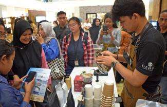
Festival PARARA 2023: Celebrating Local Entrepreneurship and Indigenous Products
Partners' solidarity for World's Indigenous Peoples Day
Grant Advisers Meeting in Chiang Mai