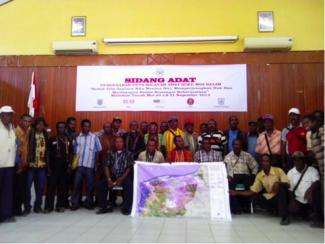
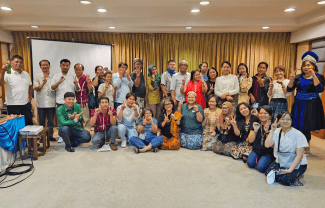
20 - 21 of November marked a memorial moment for the people of Moi Kelim - Sorong, West Papua. 140 local leaders came together on the final day of a mapping workshop to clarify, validate and recognize the tribal boundaries they had mapped. Led by the local customary community Group of Malamoi (LMA Malamoi) Mr. Silas Ongge Kalami, the event marked a poignant and proud moment for all.
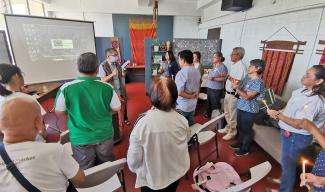
A representative from the local government and technical unit of the Ministry of Forestry was in attendance on the second day of the workshop. The Bupati of Sorong district noted that ‘this is a important momentum for all Moi people to unite as one, and the government will definitely provide support for the next step of the recognition process.' He also noted that ‘the government is inviting the National Land Agency to develop a regulation draft for Moi tribes rights and we would like to endorse LMA Malamoi to take part in this process.†With strong support from the relevant departments of Sorong district, participants and government alike are confident that a supporting perda will be drafted and issued. This workshop reflects the commitment of the communities, together with Sorong district government, to push for the legal recognition of communities, and provide an example to other tribes that it is possible to do the same.
The need for recognition was further emphasized during a separate session, when the Parliament of Sorong District, in which 9 members are Moi, also underscored the importance and urgency to push for the recognition of Moi. Indeed, Tory Kalami, a newly elected Moi parliamentarian, stated that “next year the PERDA should be realized…[and the] 9 moi parliamentarians should commit to push for development that respects local rights and accommodates the needs of community development.
After a long and sometimes difficult process of community mapping, the Moi Kelim have found that their customary area totals around 430,000 ha, covering the city of Sorong and Sorong District. 372 clans/family names reside within an area that reaches from Makbon to Salawati.
The Moi Kelim mapping process was funded and facilitated by the Samdhana Institute, from July 2013 to September 2014. (Yunus Yumte)
